Mumbai’s Pink Line to Link West & East by Dec 2025

Mumbai's metro is getting bigger fast, and it's going to change how people get around town. One of the most anticipated projects is the Pink Line (Mumbai Metro Line 6). It's a 15.18-kilometer elevated line that will connect Lokhandwala (Swami Samarth Nagar) in the west to Vikhroli (Eastern Express Highway) in the east.
The line is supposed to be done by December 2025. It's going to be a big deal for linking the west and east sides of Mumbai also reducing traffic, improving access, and helping real estate grow. This blog will tell you everything you want to know about the Pink Line—like where it goes, the stations, when it will be completed, what tech it uses, and how it will change the city. I'll explain it all in a way that's easy to read.
Overview of the Pink Line (Line 6)
Length: 15.18 kilometers
Type: Fully elevated metro corridor
Stations: 13 stations connecting Lokhandwala to Vikhroli EEH
Owner & Operator: Mumbai Metropolitan Region Development Authority (MMRDA) | Maha Mumbai Metro Operations Corporation (MMMOCL)
Estimated Cost: ₹6,672 crore
Estimated Daily Ridership (2031): 7.69 lakh passengers
Top Speed: 80 km/hr
Average Speed: 34 km/hr
Track Gauge: Standard gauge (1435 mm)
Electrification: 25 kV, 50 Hz AC overhead equipment
Signaling: Communication-based Train Control (CBTC)
Depot Location: Kanjurmarg spanning 15.02 hectares
Pink Line Route & Key Stations
The Pink Line boasts well-placed stations bridging prominent residential, commercial, and educational hubs:
| Station No. | Station Name | Key Landmarks/Connections |
|---|---|---|
| 1 | Swami Samarth Nagar | Lokhandwala complex, markets |
| 2 | Adarsh Nagar | Yellow Line interchange |
| 3 | Jogeshwari (West) | Western Railway Station |
| 4 | JVLR Junction | Red Line interchange |
| 5 | Shyam Nagar | |
| 6 | Maha Kali Caves | Religious & heritage site |
| 7 | SEEPZ Village | Aqua Line interchange; Special Economic Zone |
| 8 | Saki Vihar Road | Industrial zone access |
| 9 | Rambaug (Powai) | Near Powai Lake |
| 10 | Powai Lake | Recreational area |
| 11 | IIT Powai | IIT Bombay and research hub |
| 12 | Kanjurmarg (West) | Green Line interchange, local railway station |
| 13 | Vikhroli EEH | Proposed Magenta Line interchange, Eastern Express Highway |
Notably, most stations have two levels, offering spacious concourses and efficient passenger flow, except Jogeshwari (West) and Shyam Nagar, which have ground level concourses
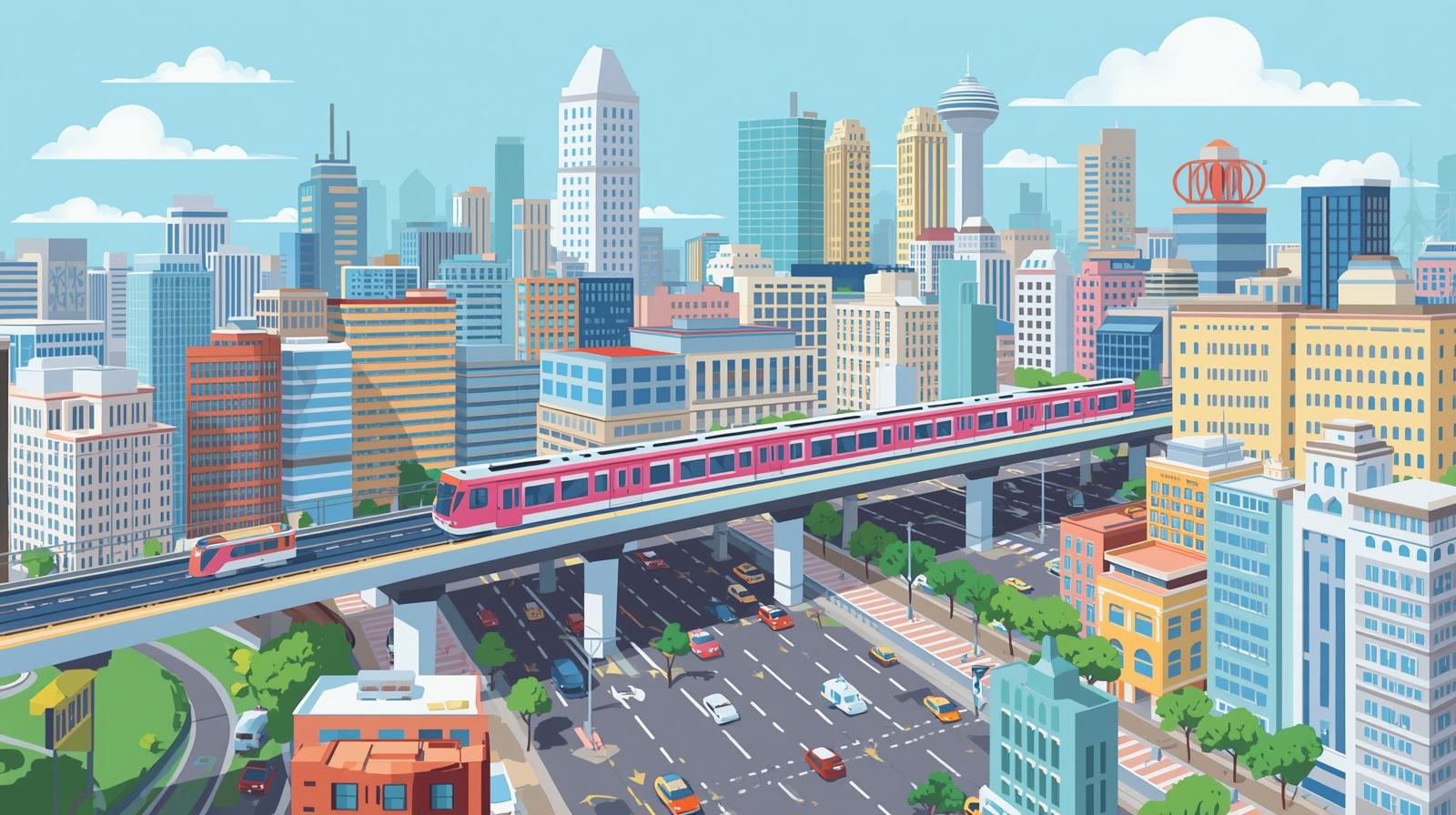
Table: Pink Line Key Details at a Glance
| Parameter | Details |
|---|---|
| Line Number | 6 (Pink Line) |
| Length (km) | 15.18 |
| Number of Stations | 13 |
| Total Cost (₹ crore) | 6,672 |
| Expected Launch | December 2025 (partial) |
| Operator | Maha Mumbai Metro Operations |
| Top Speed (kmph) | 80 |
| Average Speed (kmph) | 34 |
| Key Interchanges | Yellow, Red, Aqua, Green, Magenta lines |
| Depot Location | Kanjurmarg |
| Signaling Technology | CBTC |
Comments
Post a Comment